Exploring a new location? Here's how google maps can help
20/10/25
Everything we do is delivered with care and respect, because we understand your home is a place that truly matters. With this in mind, our next collection of blogs will focus on how you can get things just right with your new home; right from the top of the list like picking a location down to the little details like choosing cushions. There might be a big difference but both matter when it comes to making a home your own. At Vivly, we choose each location with care. We look for places where everyday life is easy, and countryside calm comes naturally. But if you’re doing your own research, one of the most useful tools is something many people already have on their phone: Google Maps.
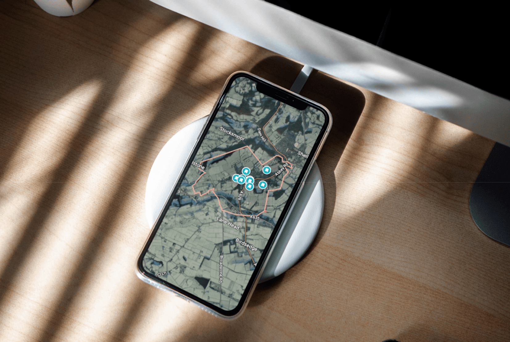
It’s not just for finding directions. If you know what to look for, you can start to get a feel for a place, its pace, its connections, and what it’s like to live there. Here are a few simple icons that can help you explore Shepley and similar locations:
Landmarks Look for the small castle icon. Around Shepley, this includes places like St Paul’s Church. The wonderful Cliffe House and the historic Quaker meeting house at Lane Head. These buildings add to the area’s character, offering quiet spaces to explore and a sense of local heritage.
Railway Stations A red and white train symbol shows you where the local stations are. Shepley Station is a good example, offering direct connections to Huddersfield and Sheffield. It makes countryside living more flexible, especially for commuting or days out.
Pharmacies The pestle and mortar icon points to pharmacies and health centres. In Shepley, the local surgery on Huddersfield Road is close to the heart of the village, one of the many small touches that make life here feel well supported.
Pubs and Bars A martini glass on the map marks out local pubs or bars. In Shepley, you’ll spot places like the Black Bull and Farmers Boy. These are welcoming, familiar spaces that often serve as gathering points for the community.
Grocery Shops A shopping trolley icon shows you where to find food shops. The local Co-op in Shepley is central and easy to reach. A good sign if you want the convenience of being able to walk to the shops.
Cafés and Restaurants A knife and fork symbol highlights places to eat. In and around Shepley, there are cafés and tea rooms that are perfect for a quiet coffee or a light lunch after a countryside walk.
Bus Stops Bus stops are marked all along the main road and are often more frequent than you might expect in a rural setting. From Shepley there are regular and reliable routes towards Huddersfield, Barnsley and Holmfirth.
Extra tip: use the ‘Layers’ button Tap the layers icon in the corner of Google Maps and you can switch on helpful extras like:
Cycle routes, showing off-road paths and quieter roads ideal for bikes.
Public transport networks, so you can see how well-connected a location really is.
Air quality data, particularly reassuring when you’re choosing somewhere to settle long term. (Shepley has consistently good ratings.)
Every place has its own story. At Vivly, we believe in taking time to understand what makes each location special and how it might work for the people who’ll live there. These small symbols on Google Maps might seem simple, but together they can offer a helpful first look at a place’s potential.
If you want a bit more advice exploring the local area, we’ll be happy to point you in the right direction.
Recent Articles